A Complete Telematics Solution
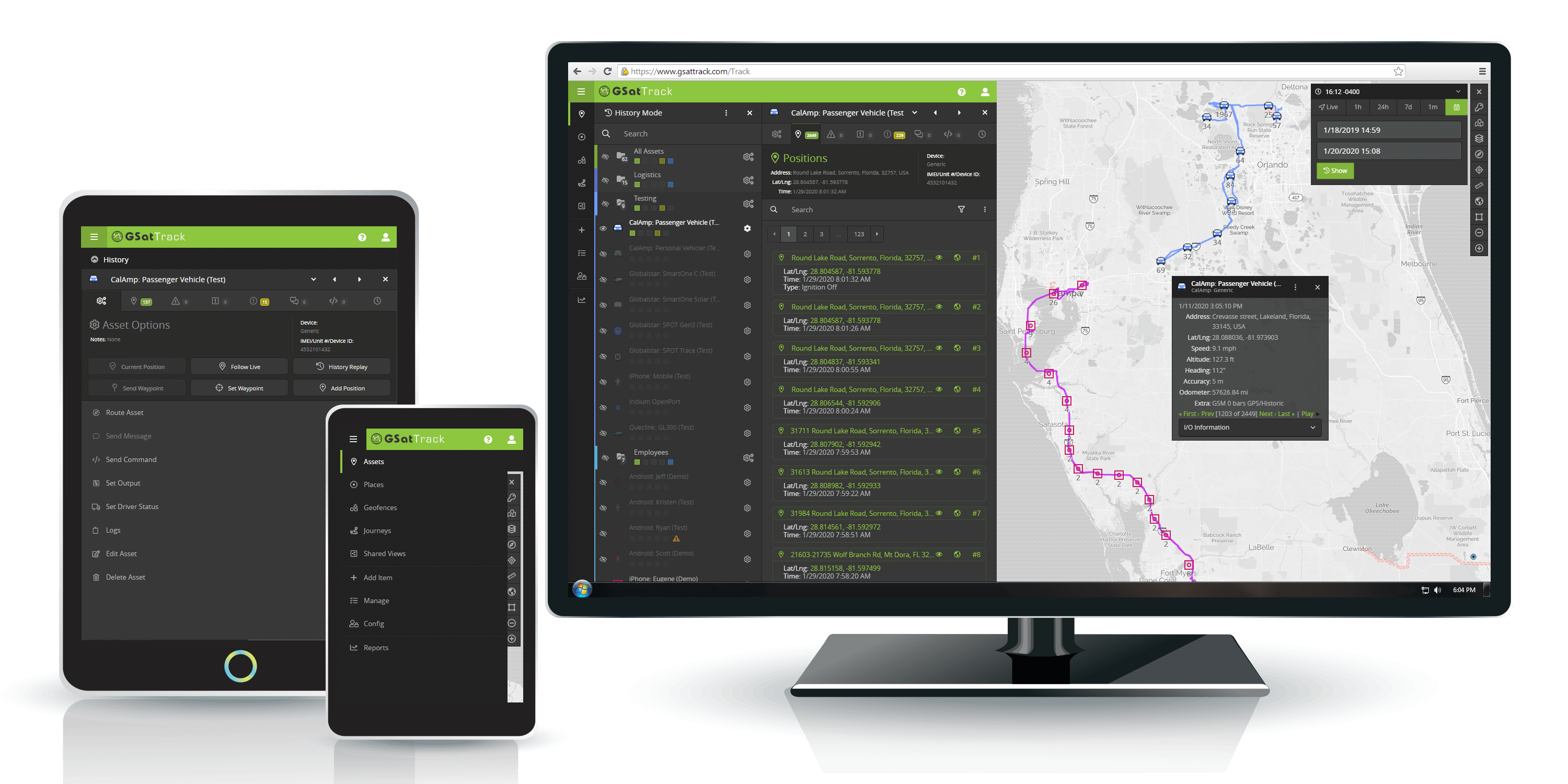
GSatTrack provides a universal and hardware-agnostic, cloud-based data visualization and management platform that allows managers to track, command, and control assets in near-real-time.

Monitor
Harness all of the insights from your data ecosystem in a single, cloud-based portal
All of your operational intelligence data in a single portal: GSatTrack gives managers the power to view the location, behavior, and other telematics data collected by assets in their organization’s technology ecosystem. Assets can be grouped and sorted, interfaces and user permissions customized, and alerts or reports automated to suit your needs.
Manage
Control of your entire suite of hardware devices at your fingertips from any device
Interact with any node in the data ecosystem from anywhere: activate assets directly from the interface, configure the reporting settings, understand diagnostic information to manage maintenance needs, send commands, and augment your communications by utilizing a two-way messaging that connects cellular and satellite devices together.
Maximize
Leverage operational data in near-real time to achieve operational and efficiency goals
Insightful decisions to save resources, time, and lives: organizations with extensive data acquisition node networks, hundreds or thousands of tracked assets, or extensive fleets can employ GSatTrack’s robust fleet management capabilities to leverage operational data toward achieving efficiency goals, cost savings, and risk mitigation.
Latest Article
Mileage Deductions Made Easy: GSatTrack for Drivers
Video Blog
GSatTrack How to Series: Identifying Inactive Devices
Monitor: Tracking With Intelligence
No longer just focused on asset locations, tracking products have become more robust, more intelligent, and more data rich.
Geolocation Data
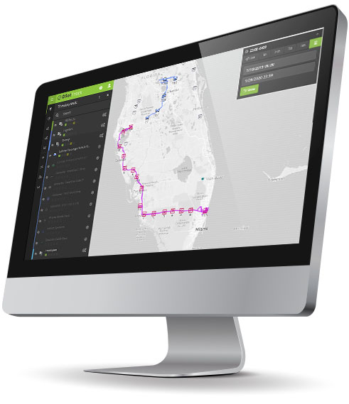
Knowing the whereabouts of every asset in the ecosystem is still the core functionality of every telematics and tracking product, as it dictates the functionality of advanced features.
Asset Behavior
What is it doing? With all of the advanced sensor technology available to hardware assets in the 21st century, managers can turn their networked assets into live operational data mines.
Events
Whether operator triggered or automated by the system, GSatTrack creates events in the interface that allow managers to focus their attention on active assets with relevant status updates.
Alerts
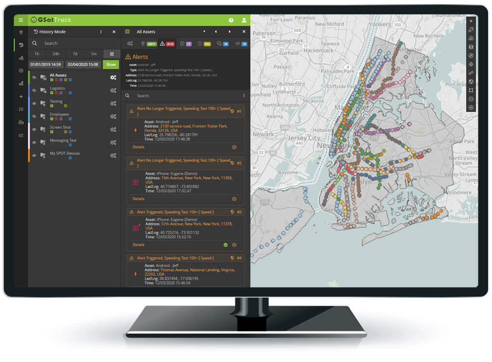
Mostly automated with advanced features, but also operator triggered, Alerts allow managers to recognize assets that are in dangerous situations in near-real-time, and mitigate risk.

Manage: Command and Control
Active management tools give anyone the ability to interact with any connected device, anywhere, at any time, directly from the portal.
2-way Communications
Advanced devices can not only transmit but receive and process commands, text messages, or behaviors. GSatTrack provides a unified interface to all these capabilities and features like device agnostic text messaging and routing.
Over-the-Air Configuration
Using GSatTrack with a OTA supported device gives you the ultimate remote control capabilities including remote diagnosis, setting and testing parameters from a distance, and copying features throughout a fleet of devices easily, directly from one portal interface.
Geofencing
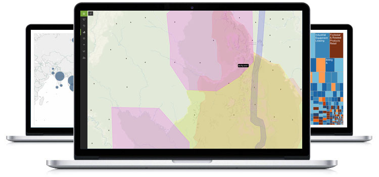
In conjunction with specialized map layers to visualize data, managers can set up geofences with alerts to provide constant monitoring of conditions, or use geofences to group regional areas of mobile assets. Geofences also provide general grouping functionality with various GSatTrack features.
Asset/Fleet Management
Data funneled into GSatTrack informs managers of behaviors, unsafe conditions, performance, and decision making intelligence. These decision making data feeds can lead to rerouting of assets, remotely controlling an asset, or shift changes, leading to better informed decisions.

Maximize: Optimize Your Business
Maximizing the operational data ecosystem is all about finding ways to convert the data collected into real currency figures.
Fuel Management
In the interest of converting data to real, tangible currency, fuel cost savings techniques are typically an organization’s first measure of return on investment for telematics data technology.
Capacity Allocation
Organizations that are taking full advantage of their telematics data typically succeed in optimizing the capacity allocation of their machinery, resulting in easily measurable productivity gains.
Labor Resource Management
Using advanced reporting and budget-tracking tools, managers have the ability to use data in GSatTrack to understand long-term labor effectiveness and allocate accordingly.
Third Party Integrations
GSatTrack is a powerful tool set, and no small factor in its ability to deliver solutions for any organization is the ability to work with an array of third party tools to augment its effectiveness.
Learn More..Maximize your ROI!

Sign Up For A Demo!
Try GSatTrack for 30 days while working with a Telematics Specialist to enhance and deliver your tracking project


