GSatTrack How to Series: Upload File
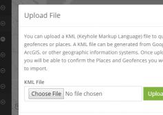
Scott demonstrates the way GSatTrack can ingest custom KML, Geofences, and Places by parsing an upload file.
...
View
View
GSatTrack How to Series: Get Route
Scott runs through the process of mapping an asset from its current location to any place on the map, including destinations between.
...
View
View
GSatTrack How to Series: Map Controls - Show My Location
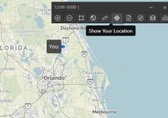
GSatTrack has the ability to display the location of the active user's device in the portal. This can be done with GPS information collected from a mobile device, or with your IP address if accessing from a laptop or desktop computer.
...
View
View
Telematics Service Providers Accelerate to Revenue
GSatTrack is Deploy Ready
Expand Existing Projects, Address Untapped Market Opportunities
GSatTrack is a cloud-based hardware-agnostic telematics system that supports nearly all satellite products in the SATCOM industry as well as many cellular devices, and dual mode (Sat/Cell) devices built on a multilingual platform.
Retain and grow business with your existing customers and attract new customers by providing complete solutions to open a...
More
More
GSatTrack How to Series: Map Controls - Zoom
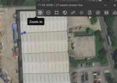
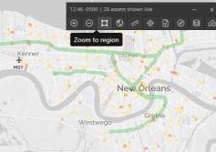
Scott shows us how to zoom in and out on the map view from the control panel in the upper left corner.
...
View
View
GSatTrack How to Series: Map Controls - Reveal All
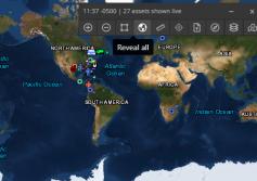
In this video, Scott continues to show us the map control panel features, which includes a button to reveal all assets visible in the portal.
...
View
View
GSatTrack How To Series: Map Control Panel
Scott takes a minute to demonstrate the map control panel feature of GSatTrack. This is a basic overview of the buttons and their functions.
...
View
View
GSatTrack for Adventurers
GSatTrack Follows Nereida Around the World
Sailing Solo
Jeanne Socrates became the oldest woman to complete a nonstop, solo circumnavigation of the world in July of 2013, sailing her monohull Najad 380 from Victoria, BC some 25,000 nautical miles over the course of approximately 9 months, earning her a spot in the Guiness World Records.
As any true adventurer will tell you, her first would not be her last, and she is in the process of completing ...
More
More
GSatTrack and Forestry Telematics
In the summer of 2000, fire destroyed millions of acres of forest across the United States. In response, M. Chad Bolding, a Graduate Research Assistant, and Associate Professor Dr. Bobby L. Lanford at the School of Forestry and Wildlife Sciences of Auburn University performed a study to investigate the feasibility of harvesting to reduce forest fuel buildup, which would reduce potential materials that could burn during a forest fire, while...
More
More
Product Quick Look: GSatTrack
Better Vision: New GSatTrack UI
We released a new version of GSatTrack a little over a month ago, which included a number of changes to the user experience that were responses to our conversations with clients over the years. One of the most obvious changes was to the user interface, and to the menu structure for the tools in the software. We implemented these changes for a number of reasons, and today, we'd like to share those reasons with you...
More
More

